A big snowstorm is set to hit Toronto on Wednesday night. Here is when the snow is expected to fly.

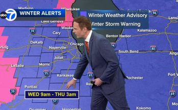
Toronto could see one of the biggest snowstorms of the season when upwards of 25 centimetres of snowfall hit the city on Wednesday night and Thursday morning.
Environment Canada has upgraded the special weather statement for Toronto to a snowfall warning.
The federal agency says snowfall amounts of 15 centimetres are possible with snowfall rates of two to four centimetres per hour. CP24 meteorologist Bill Coulter said totals could pile up to as much as 25 centimetres.
“Snow, at times heavy, will begin late Wednesday afternoon,” the advisory reads.
“This snowfall will impact the Wednesday evening commute. Snow may become mixed with ice pellets late Wednesday evening and overnight for some areas.”
According to Coulter, “bursts” of lake effect flurries are expected to begin Wednesday morning before heavier snow arrives at around 4 p.m.
Environment Canada says snow will taper off through Thursday morning.
“The snow over the GTA will ease mid-morning. But blowing snow may still be an issue as crews clean up,” Coulter said.
The snowfall comes after the city saw a blast of winter weather over the weekend.
While Friday is expected to be “bright and cold,” another “snowmaker” is on the way this weekend, according to Coulter.
He said five or more centimetres of snowfall could arrive by the end of the day on Saturday.
Cooler winds will move in on Sunday, bringing frigid temperatures to the region for the start of the work week.