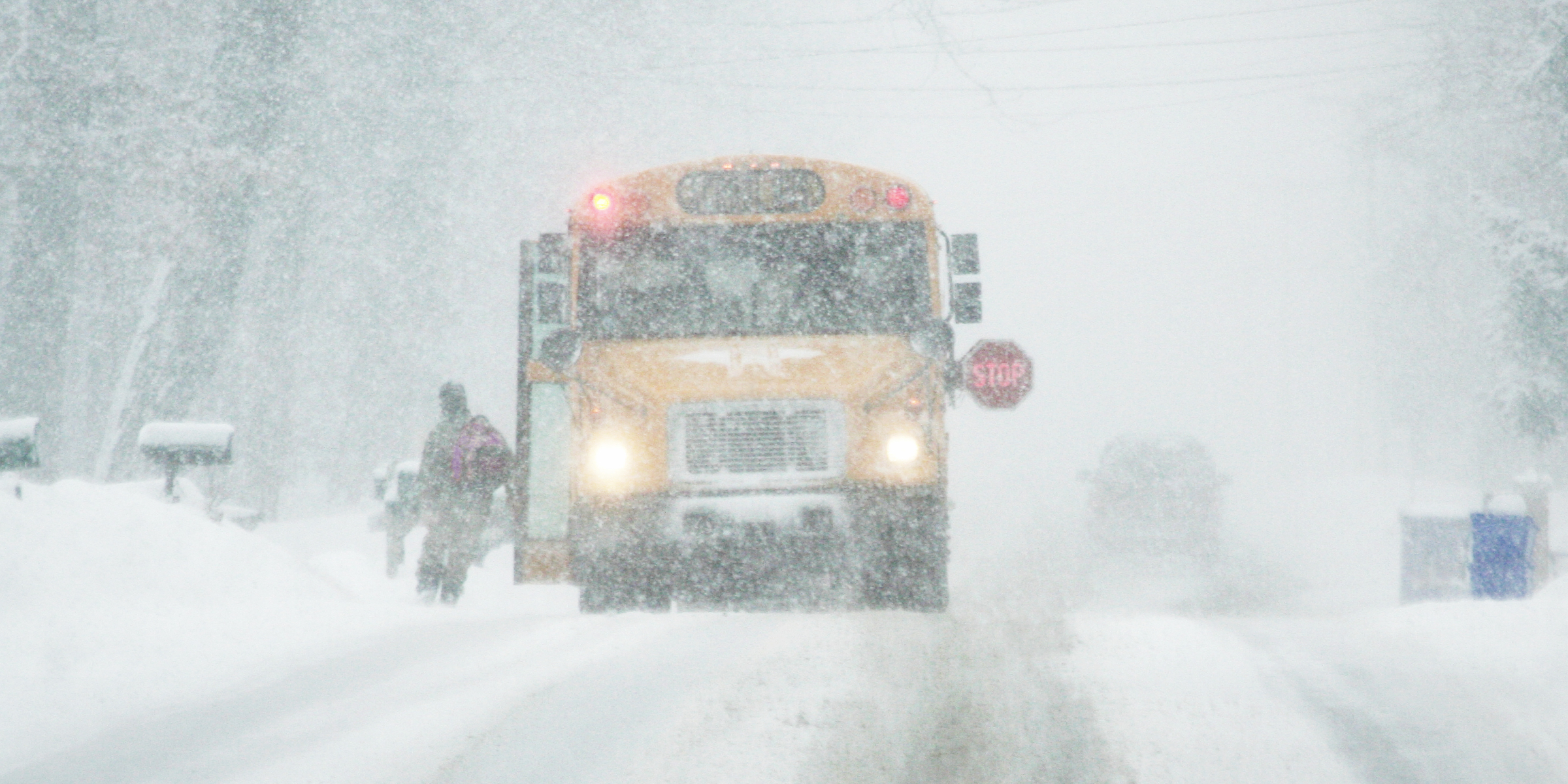
A severe winter storm is unleashing heavy snow and strong winds across the Upper Midwest, disrupting travel and prompting widespread weather alerts for affected areas.
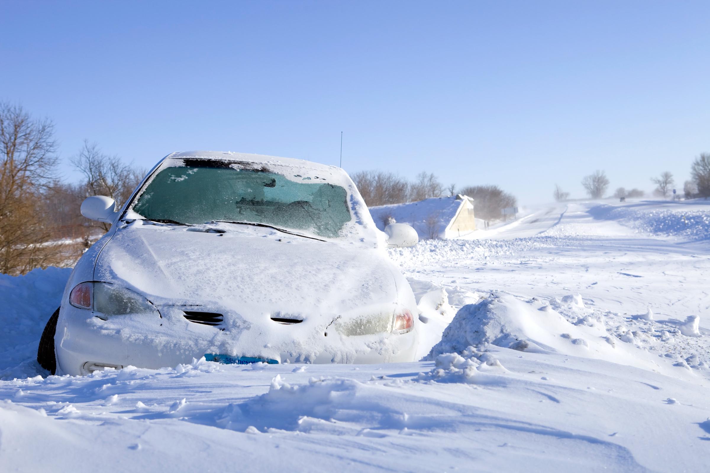
A car stuck in the snow off an Interstate Highway, dated December 13, 2010 | Source: Getty Images
The warnings forecast heavy snow, strong winds, and hazardous travel conditions, with impacts expected to last through Thursday evening (December 19) and into Friday morning (December 20) in some areas. Residents across the region are advised to take precautions as outlined by local authorities and the National Weather Service.
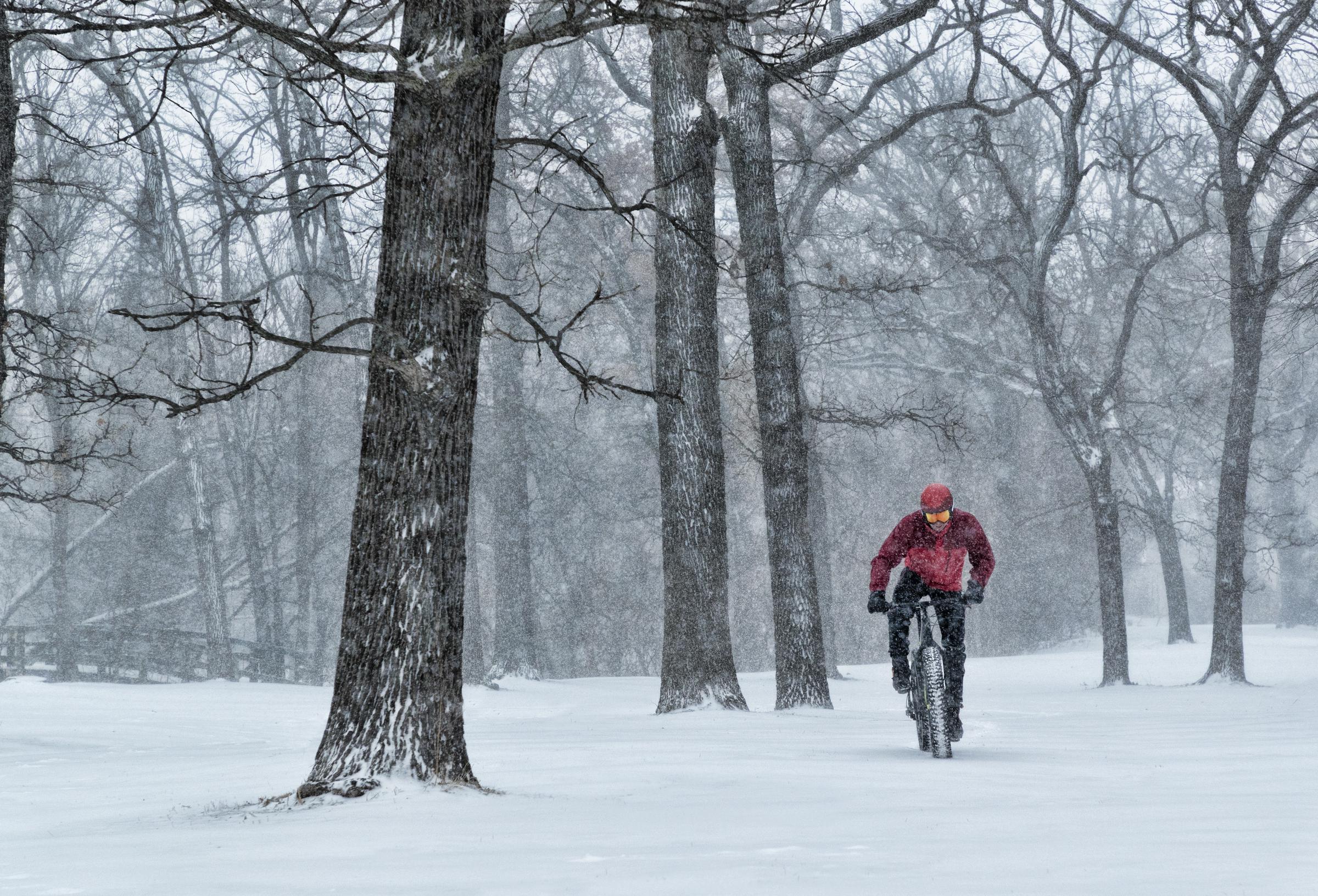
A fat biker riding in a snowstorm in Minnesota, dated August 4, 2018 | Source: Getty Images
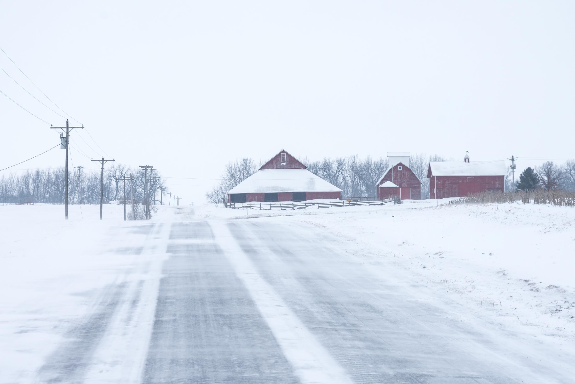
A lonely country road on a windy snowing day in Minnesota, dated March 24, 2020 | Source: Getty Images
These conditions are expected to persist until 6 p.m. CST Thursday, impacting both morning and evening commutes. Travelers are advised to carry emergency kits, including a flashlight, food, and water, and to check road conditions by calling 511.
Central and west-central Minnesota and southeast North Dakota are also under a winter storm warning. Cities such as Fargo, Moorhead, Detroit Lakes, and Wadena are preparing for snow accumulations between 3 and 7 inches. Whiteout conditions, caused by strong winds and blowing snow, are expected to make travel treacherous and potentially life-threatening.
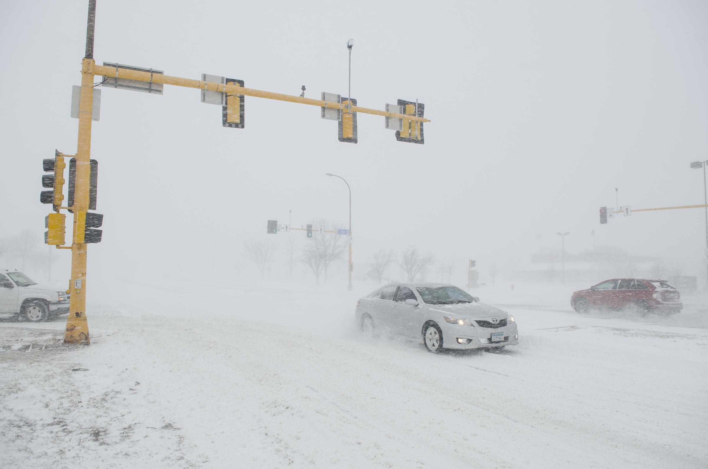
Winter storm road hazard conditions in Grand Forks, North Dakota, in March 2014 | Source: Getty Images
Residents in these areas are strongly advised to delay travel unless absolutely necessary and to equip their vehicles with winter survival kits containing blankets, tire chains, and other essentials.
In Wells and Foster Counties, North Dakota, including the cities of Fessenden, Carrington, and Harvey, the storm is forecasted to bring 4 to 7 inches of snow. Blowing snow could create near-blizzard conditions, making travel extremely dangerous, especially during the Thursday morning commute.
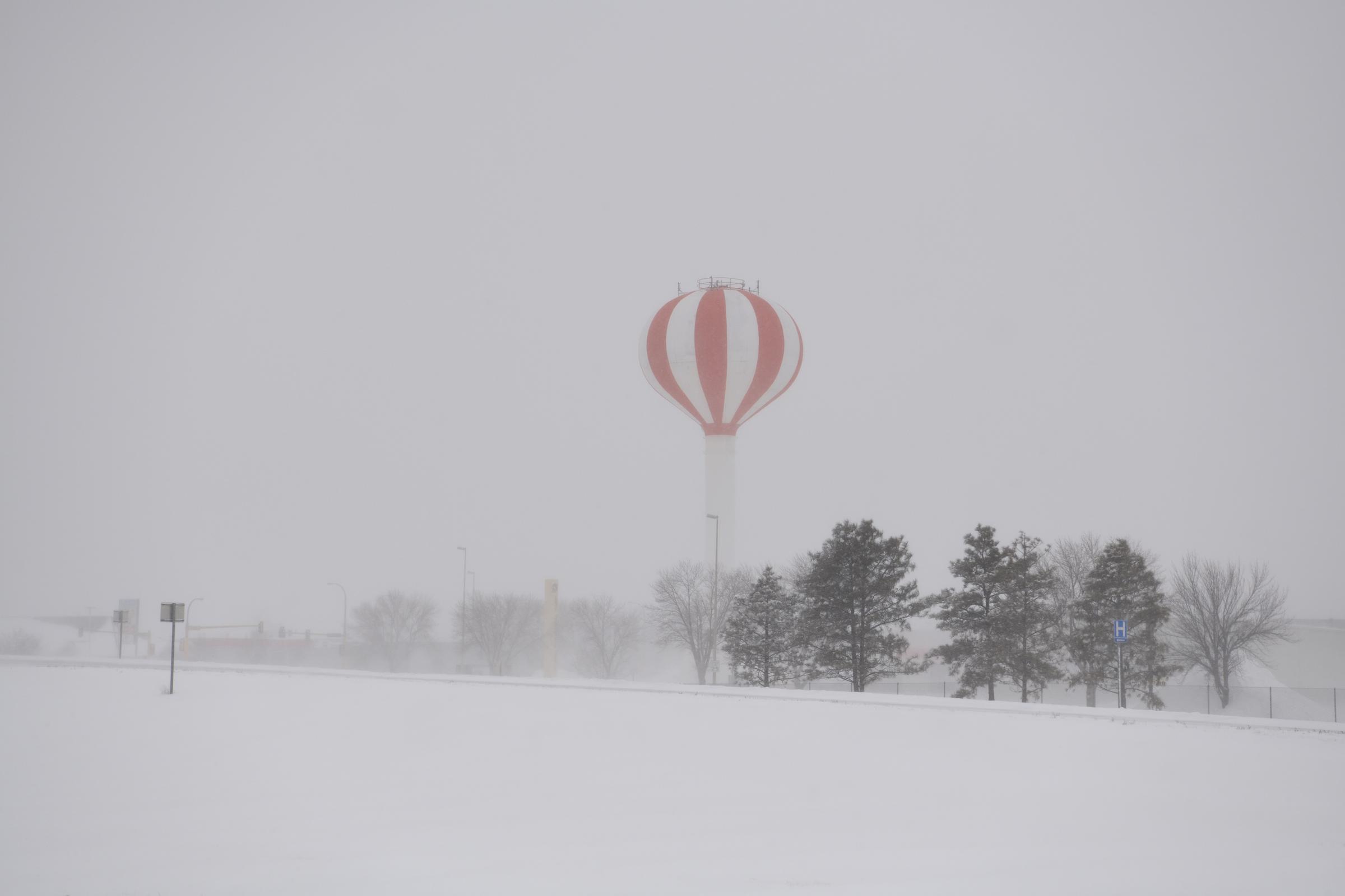
A water tower seen in a snowstorm in North Dakota, dated December 28, 2018 | Source: Getty Images

A bike route sign in a blizzard in Grand Forks, North Dakota, dated November 29, 2016 | Source: Getty Images
Several areas in Minnesota are also experiencing significant snowfall and hazardous conditions. Crow Wing, Pine, South Aitkin, and Cass Counties, which include cities such as Brainerd and Pine City, are expected to receive 4 to 6 inches of snow.
The storm is forecasted to persist until midnight CST Thursday night, causing slippery roads and challenging travel conditions. Residents are urged to avoid unnecessary travel and to ensure their vehicles are equipped for winter weather.
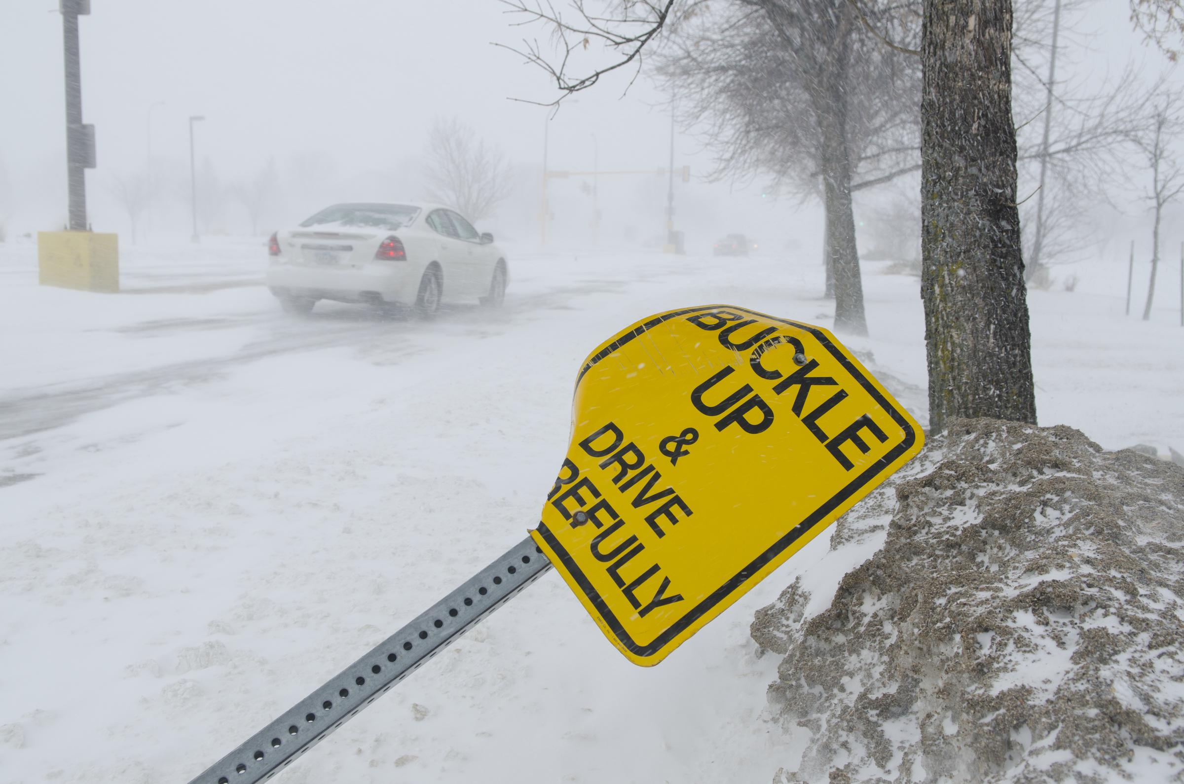
Winter storm road hazard conditions in Grand Forks, North Dakota, in March 2014 | Source: Getty Images
In Carlton, Southern St. Louis, and Southern Lake Counties, including Duluth, Two Harbors, and Silver Bay, snow accumulations of 4 to 6 inches are expected, with higher totals in elevated areas along the North Shore.
Hazardous conditions are anticipated during both the morning and evening commutes. Emergency kits should be prepared, and motorists are encouraged to monitor the Minnesota 511 system for road condition updates.
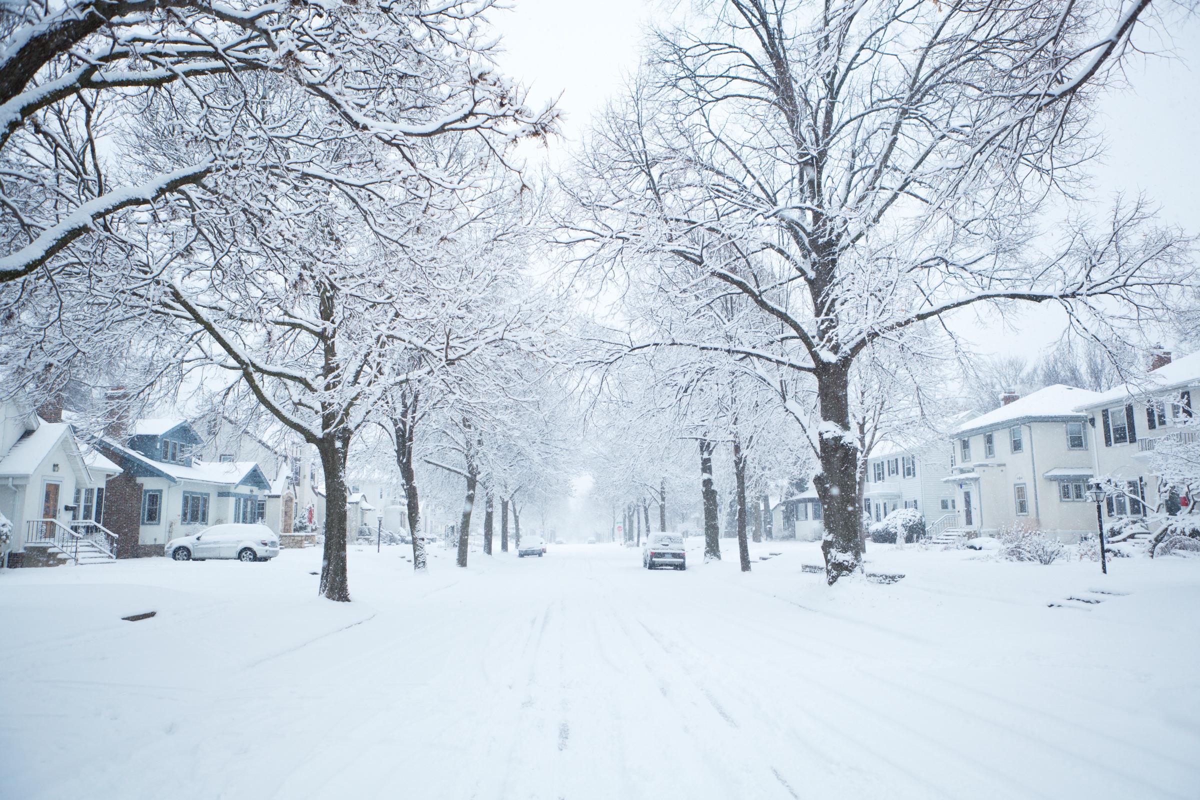
A winter snowstorm scene in a residential district of Midwest United States of America, dated December 12, 2012 | Source: Getty Images
In Wisconsin, the storm is expected to bring heavy snow across multiple counties. Bayfield County, including Washburn and the Apostle Islands National Lakeshore, is predicted to receive between 5 and 8 inches of snow.
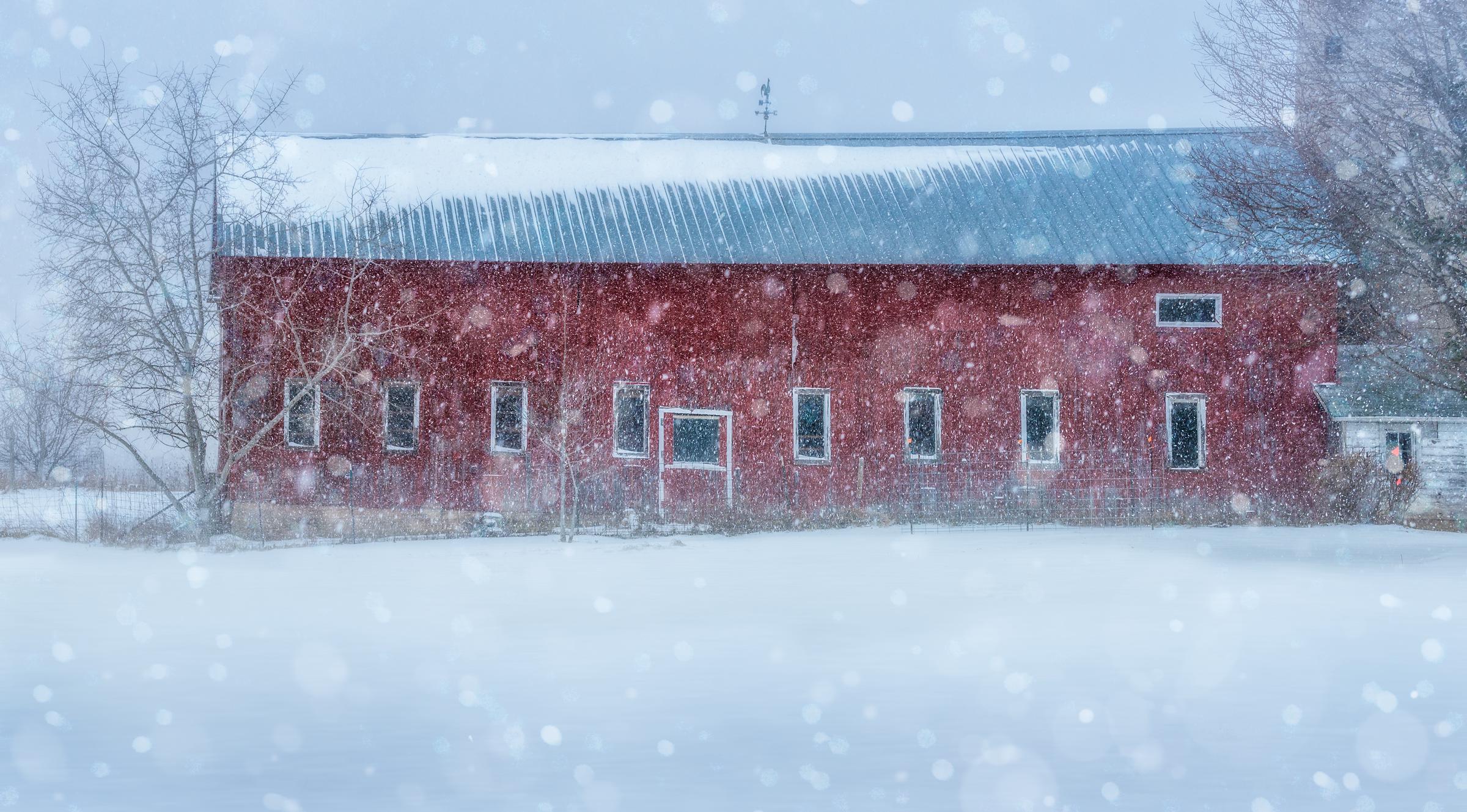
An old barn in rural Green County Wisconsin enduring a blizzard near Christmas time, dated February 23, 2016 | Source: Getty Images
Hazardous road conditions are expected throughout Thursday, making travel dangerous. Residents are urged to monitor weather alerts and avoid travel if possible.
Similar conditions are expected in Door, Manitowoc, and Kewaunee Counties, where snowfall totals may range from 7 to 10 inches, with localized amounts reaching up to 12 inches.
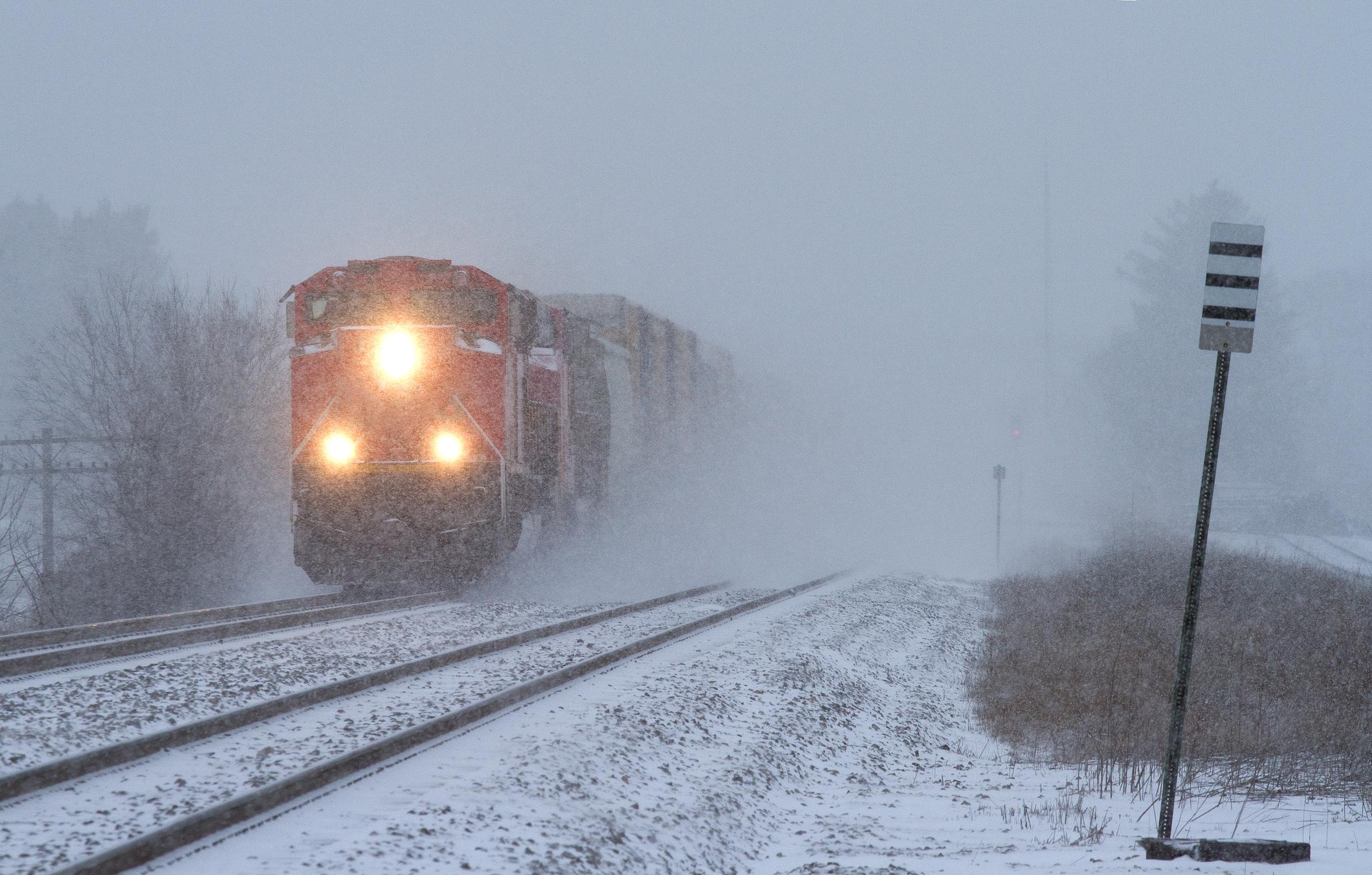
A southbound freight train blasting through a snowstorm in Wisconsin, dated July 28, 2012 | Source: Getty Images
Hazardous conditions are likely to impact commutes Thursday evening and Friday morning, and residents are strongly encouraged to delay travel.
In Marathon, Portage, Waushara, and Wood Counties, including cities such as Wausau and Wisconsin Rapids, snow accumulations are projected to range from 5 to 8 inches. Travel is expected to become treacherous, with snow-covered roads creating dangerous conditions for motorists. Similar accumulations are forecasted for Barron, Polk, and St. Croix Counties, including cities such as Hudson, Chippewa Falls, and Menomonie.
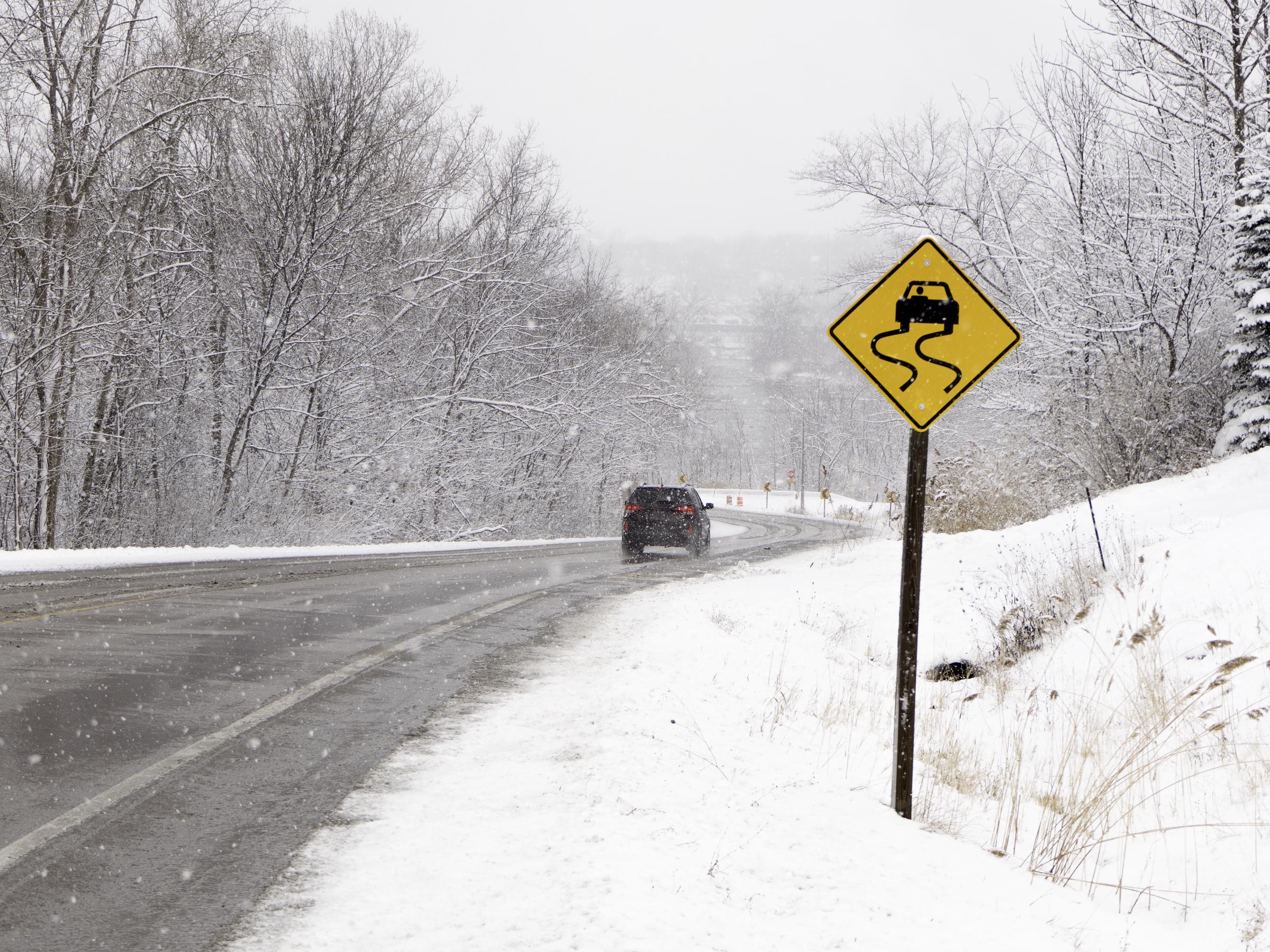
An icy downhill road with a “Slippery When Wet” sign, dated March 21, 2018 | Source: Getty Images
The storm will impact the region until early Friday morning, and drivers should carry emergency supplies and avoid travel unless necessary.
Winnebago, Brown, Shawano, and Waupaca Counties, including cities such as Green Bay, Appleton, and Oshkosh, are also under a winter storm warning. Snow accumulations between 5 and 8 inches are expected, with travel disruptions likely through Friday morning. Residents in these areas are advised to prepare for significant disruptions and avoid travel during the storm.
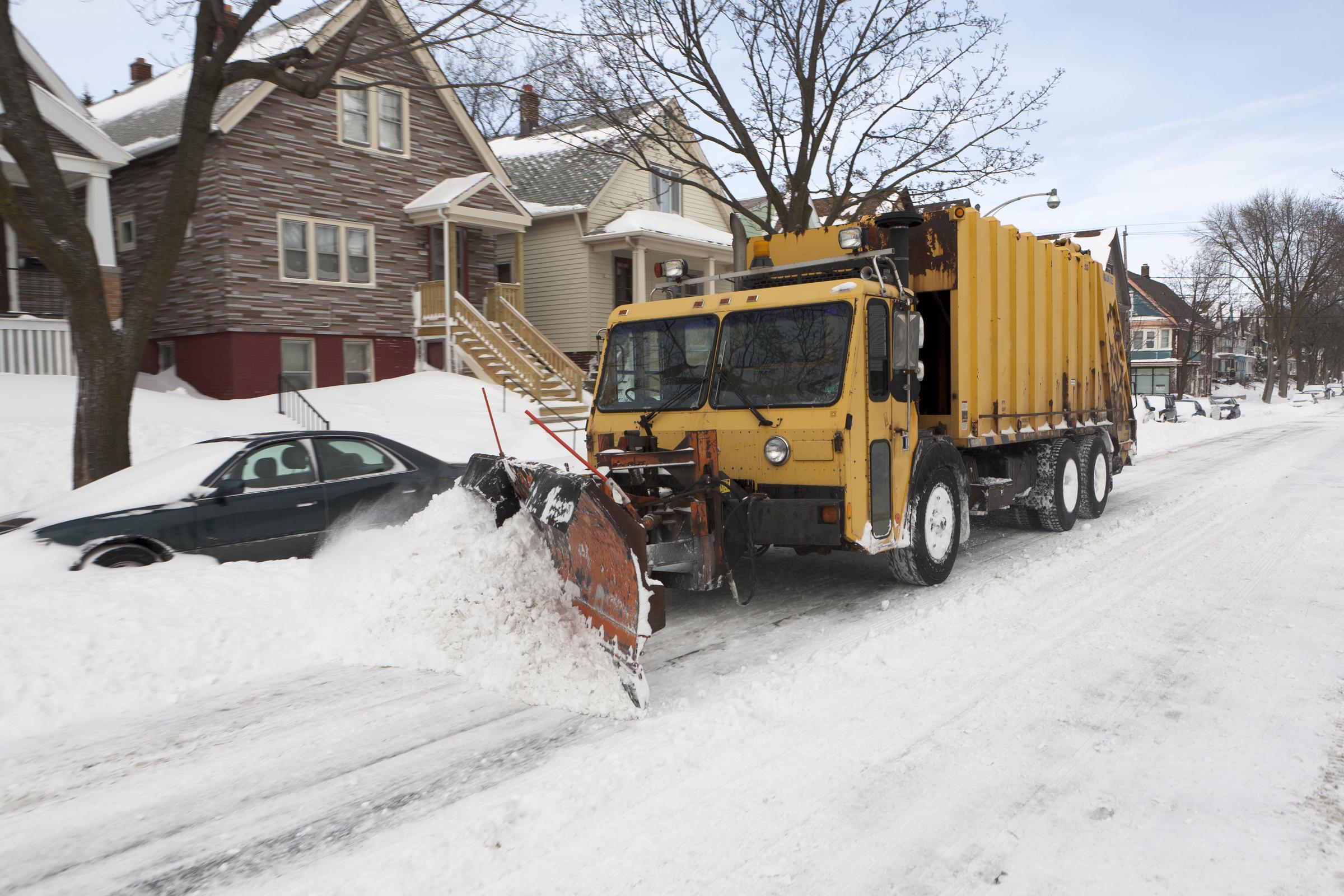
A garbage truck does double duty as a snowplow after a large winter storm in Wisconsin, dated February 7, 2011 | Source: Getty Images
As residents across the region contend with this major storm, it’s worth noting that the winter solstice, which officially marks the beginning of winter, will occur at 3:21 a.m. CST on Saturday, December 21. On this day, the Northern Hemisphere will experience its shortest amount of possible daylight.

A bench with streetlamp near a snow-covered road in Minnesota, dated October 3, 2005 | Source: Getty Images
Interestingly, the earliest sunset already occurred earlier this month, and the latest sunrise is yet to come near the end of December.
The National Weather Service issues different types of warnings based on the severity and expected impacts of winter weather.
Other warnings include the “Ice Storm Warning,” issued when at least 1/4 inch of ice accumulation is expected. The “Blizzard Warning” is issued when visibility drops below 1/4 mile due to snow, with winds of at least 35 mph lasting for three consecutive hours.
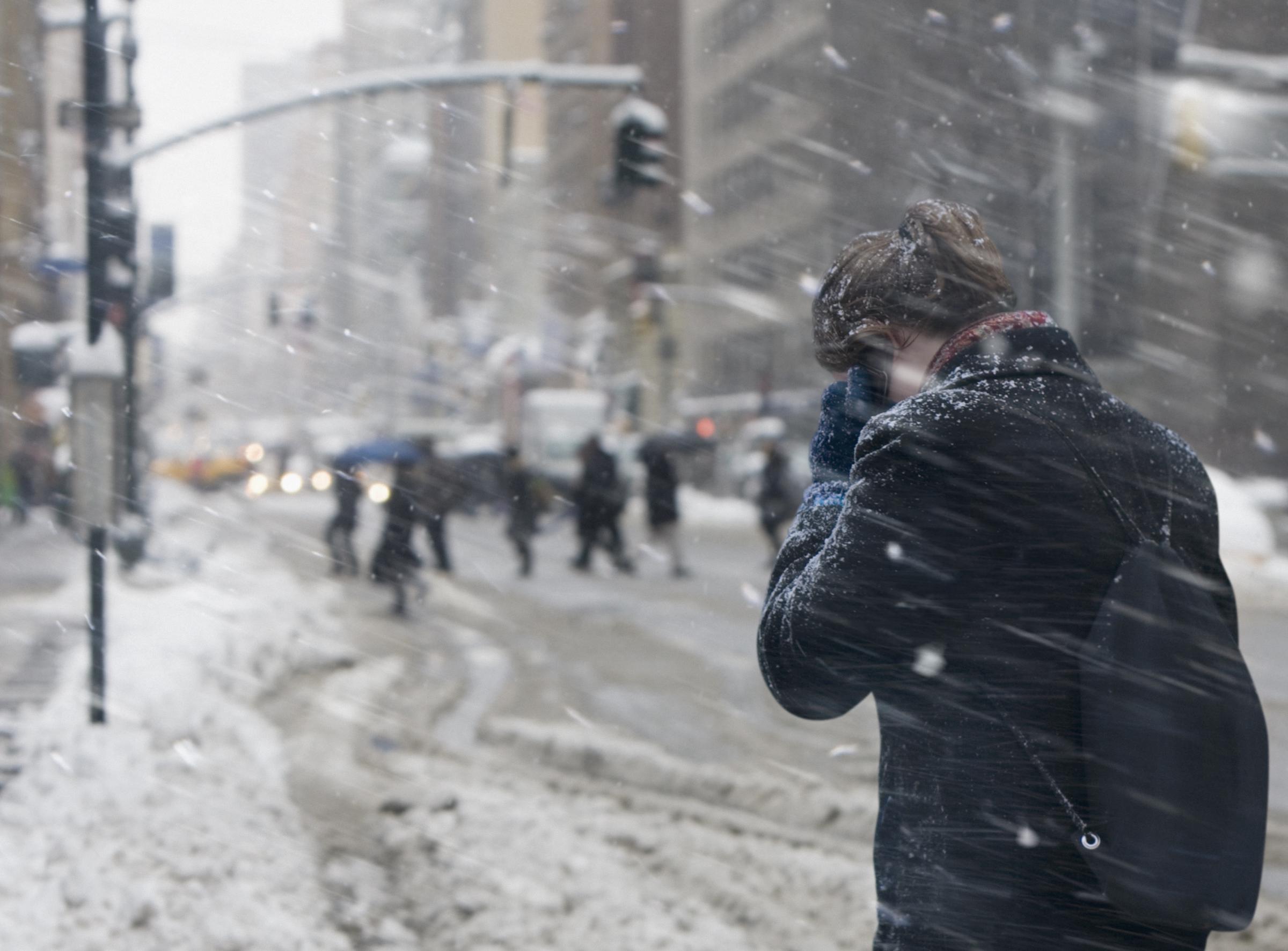
A woman communicating on cell phone in the snow, dated February 13, 2012 | Source: Getty Images
These categories of warnings provide a critical context for understanding the risks associated with severe winter weather.
The ongoing winter storm has demonstrated the potential for widespread disruption across Minnesota, North Dakota, and Wisconsin. As residents prepare for additional snowfall and dangerous travel conditions, it is vital to heed the warnings issued by the National Weather Service and take appropriate precautions.
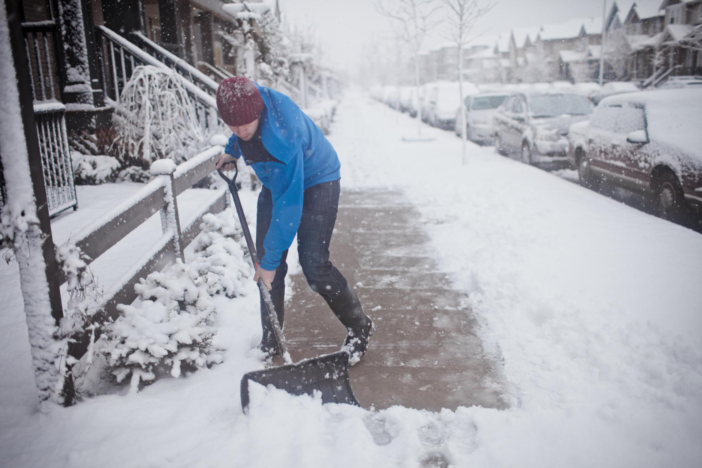
A man shovels the sidewalk outside of his suburban house during a snowstorm, dated July 9, 2015 | Source: Getty Images
With winter officially beginning, understanding the science behind the season and the purpose of weather warnings can help everyone stay informed and safe. Residents are encouraged to remain cautious, plan ahead, and monitor updates to navigate this challenging period effectively.
